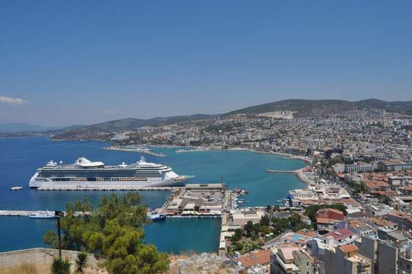
Over View
Aydın (/ˈaɪdɪn/ EYE-din; Turkish: `{`ˈajdɯn`}`; formerly named Güzelhisar), ancient Greek Tralles, is a city in and the seat of Aydın Province in Turkey's Aegean Region. The city is located at the heart of the lower valley of Büyük Menderes River (ancient Meander River) at a commanding position for the region extending from the uplands of the valley down to the seacoast. Its population was 207,554 in 2014. `{`3`}` Aydın city is located along a region which was famous for its fertility and productivity since ancient times. Figs remain the province's best-known crop, although other agricultural products are also grown intensively and the city has some light industry.</p>
<p>At the crossroads of a busy transport network of several types, a six-lane motorway connects Aydın to İzmir, Turkey's second port, in less than an hour, and in still less time to the international Adnan Menderes Airport, located along the road between the two cities. A smaller airport, namely Aydın Airport, is located a few kilometers in the South-East of Aydın. The region of Aydın also pioneered the introduction of railways into Turkey in the 19th century and still has the densest railroad network.</p>
<p>The province of Aydın is also where a number of internationally known historic sites and centers of tourism are concentrated.</p>
<p>The weather is hot in summer, and warm all year round.</p>
<p>Climate data for Aydın (1950 - 2014)<br />
Month Jan Feb Mar Apr May Jun Jul Aug Sep Oct Nov Dec Year<br />
Record high °C (°F) 23.2<br />
(73.8) 25.2<br />
(77.4) 32.4<br />
(90.3) 35.4<br />
(95.7) 40.2<br />
(104.4) 44.4<br />
(111.9) 44.6<br />
(112.3) 43.8<br />
(110.8) 43.3<br />
(109.9) 37.8<br />
(100.0) 30.7<br />
(87.3) 25.9<br />
(78.6) 44.6<br />
(112.3)<br />
Average high °C (°F) 13.2<br />
(55.8) 14.7<br />
(58.5) 17.9<br />
(64.2) 22.5<br />
(72.5) 28.1<br />
(82.6) 33.3<br />
(91.9) 36.1<br />
(97.0) 35.6<br />
(96.1) 31.9<br />
(89.4) 26.2<br />
(79.2) 19.7<br />
(67.5) 14.6<br />
(58.3) 24.5<br />
(76.1)<br />
Daily mean °C (°F) 8.2<br />
(46.8) 9.3<br />
(48.7) 11.8<br />
(53.2) 15.8<br />
(60.4) 20.9<br />
(69.6) 25.9<br />
(78.6) 28.4<br />
(83.1) 27.6<br />
(81.7) 23.5<br />
(74.3) 18.4<br />
(65.1) 13.3<br />
(55.9) 9.7<br />
(49.5) 17.7<br />
(63.9)<br />
Average low °C (°F) 4.3<br />
(39.7) 4.9<br />
(40.8) 6.7<br />
(44.1) 10.1<br />
(50.2) 14.1<br />
(57.4) 18.1<br />
(64.6) 20.4<br />
(68.7) 20.2<br />
(68.4) 16.6<br />
(61.9) 12.7<br />
(54.9) 8.7<br />
(47.7) 5.8<br />
(42.4) 11.9<br />
(53.4)<br />
Record low °C (°F) −7.6<br />
(18.3) −5.4<br />
(22.3) −5.0<br />
(23.0) −0.8<br />
(30.6) 4.6<br />
(40.3) 8.4<br />
(47.1) 13.4<br />
(56.1) 11.8<br />
(53.2) 7.6<br />
(45.7) 2.0<br />
(35.6) −2.0<br />
(28.4) −5.3<br />
(22.5) −7.6<br />
(18.3)<br />
Average precipitation mm (inches) 108.2<br />
(4.26) 93.3<br />
(3.67) 69.9<br />
(2.75) 53.3<br />
(2.10) 35.5<br />
(1.40) 13.5<br />
(0.53) 3.9<br />
(0.15) 2.3<br />
(0.09) 12.9<br />
(0.51) 43.8<br />
(1.72) 83.9<br />
(3.30) 122.8<br />
(4.83) 643.3<br />
(25.31)<br />
Average precipitation days 12.2 10.4 9.6 8.7 6.3 2.2 0.8 0.5 2.1 5.7 8.3 13.0 79.8<br />
Mean daily sunshine hours 3.6 4.6 5.4 6.3 8.0 9.4 10.2 9.4 8.2 6.2 4.2 3.4 6.6<br />
Source: Turkish State Meteorological Service`{`19`}`
